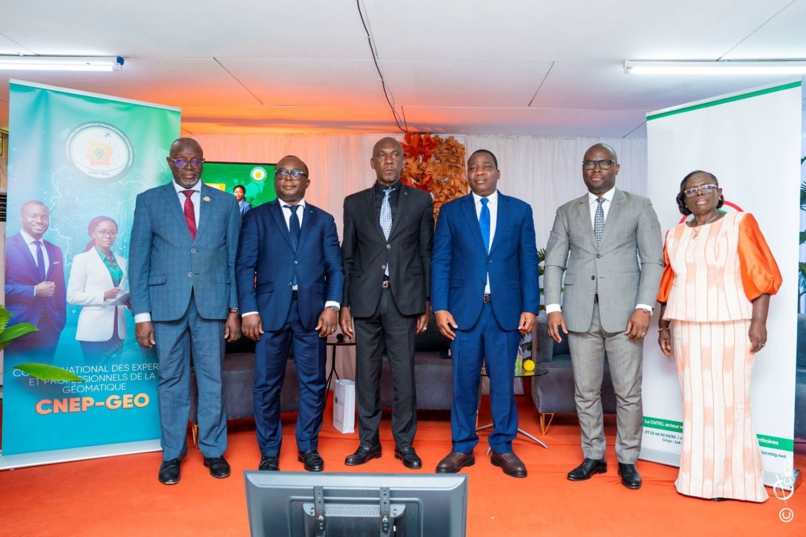
The preparatory work for the establishment of the National Council of Experts and Professionals in Geomatics (CNEP-GEO) was officially launched on Wednesday, November 12, 2025, at the headquarters of the National Committee for Remote Sensing and Geographic Information (CNTIG) in Abidjan-Cocody Danga. The ceremony brought together geomatics professionals from the public, private, and academic sectors, as well as representatives of international institutions.
Led by the Director General of CNTIG, Dr. Edouard Fonh-Gbei, this initiative aims to provide Côte d'Ivoire with an institutional, legal, and organizational framework to structure the profession, promote ethics and professional competence, and strengthen the governance of geospatial data.
“The objective is clear: to establish a strong framework for the recognition and professionalization of geomatics in Côte d'Ivoire, in line with the vision of a modern and digital state,” declared Dr. Edouard Fonh-Gbei.
According to him, the creation of the CNEP-GEO marks the beginning of a collective movement bringing together geomaticians, public institutions, universities, the private sector, and civil society around a shared goal:
“Building a coherent, innovative, and efficient ecosystem for the modernization and development of our country.”
The Director General of CNTIG also urged professionals to work toward recognizing geomatics as “a profession of the future, a profession of sovereignty serving sustainable development, spatial planning, and land security.”
For his part, the President of the Scientific Committee, Dramane Touré, outlined the challenges and operational framework of the future Council. He announced the creation of a multidisciplinary working group responsible for leading the CNEP-GEO establishment process.
This group, whose mandate will run from November 12, 2025, to March 26, 2026, will bring together experts from the public, private, and academic sectors, along with legal professionals and representatives of professional associations.
The work will be organized around six thematic subcommittees:
- Consultations and Diagnostic
- Legal and Institutional Affairs
- Ethics and Professional Standards
- Admission and Qualifications
- Communication and Advocacy
- Establishment of the Provisional Bureau
It should be noted that geomatics is a discipline focused on the management of spatially referenced data. It now occupies a prominent place in Côte d'Ivoire’s evolving professional landscape.